Category: Map
Results
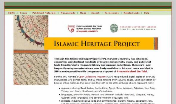
Through the Islamic Heritage Project (IHP), Harvard University has cataloged, conserved, and digitized hundreds of Islamic manuscripts, maps, and published texts from Harvard’s renowned library and museum collections. These rare—and frequently unique—materials are now freely available to Internet users worldwide. IHP is made possible with the generous support of Prince Alwaleed Bin Talal . For the IHP, Harvard’s Open Collections Program (OCP) has produced digital copies of over 280 manuscripts, 275 printed texts, and 50 maps, totaling over 156,000 pages. Users can search or browse online materials that date from the 10th to the 20th centuries CE and represent many

The fourth in a series of online collections from Harvard University, Expeditions and Discoveries delivers maps, photographs, and published materials, as well as field notes, letters, and a unique range of manuscript materials on selected expeditions between 1626 and 1953. The collection is made possible with the generous support of the Arcadia Fund . In the 19th and 20th centuries, Harvard University played a significant role—as underwriter, participant, collector, and repository—for pace-setting expeditions around the world. For Internet users, Expeditions and Discoveries provides selective access to Harvard’s multidisciplinary records of those expeditions.

The Harvard Map Collection is one of the oldest and largest collections of cartographic materials in the United States with over 500,000 items. Resources range from 16th century globes to modern maps and geographic information systems (GIS) layers. A selection of our materials has been digitally imaged and is offered both as true picture images and georeferenced copies. This Virtual Collection includes those maps and atlases that are available through the Harvard Image Delivery Service. Those maps that have been georeferenced are available through the Harvard Geospatial Library. Therefore, many of the maps listed will have two records, one for the image that is true to the original and the other a georeferenced image.

The New York Real Estate Brochure Collection, housed in Avery Architectural & Fine Arts Library's Classics Department , consists of over 9,200 advertising brochures, floor plans, price lists, and related materials that document residential and commercial real estate development in the five boroughs of New York and outlying vicinities from the 1920s to the 1970s. The majority of the collection is offerings for apartment and other residential spaces. This collection of ephemeral advertising material constitutes an invaluable resource for researching New York City architecture. The brochures and related materials provide architects' and agents' names, illustrate interior and exterior views of buildings, display typical floor plans, and list prominent features of the buildings.
- « first
- ‹ previous
- 1
- 2
- 3
- 4


